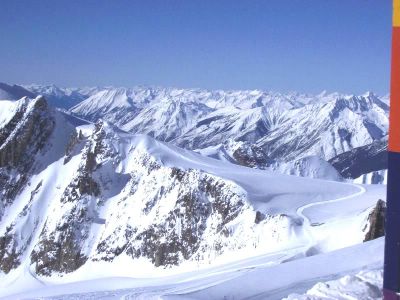
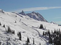
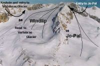
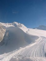
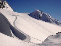
From the Windlip, the Keyhole is visible. It's the narrow opening the road passes through before emerging on the Plateau that is the top of Vertebrae Glacier. The road continues a little to the north (left), to the usual drop-off which is quite close to the height of land at the left hand corner of the photo above.
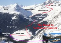
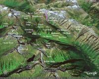
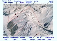
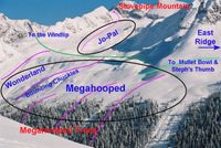
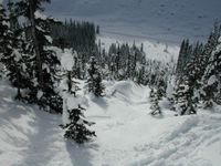
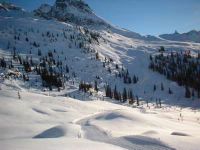
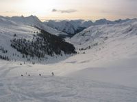
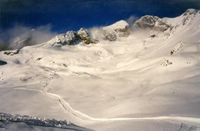
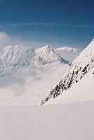
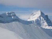
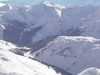
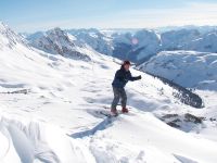
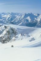
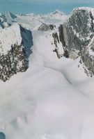
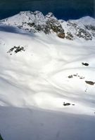
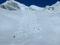
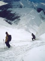
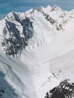
This vantage point provides views east over the Vertebrae Glacier and west over Lodge Ridge to the Kitchen Range , which is west of Vertebrae lodge. In Figs. 19& 20 to the right, the road to Vertebrae Glacier can be seen far below, crossing above Megahooped. In Fig 19, the road can also be seen, even further below, as it enters the Spruce Creek gully. Lower Lodge Ridge is in the middle distance and the Clamshell can be seen on the far hillside, at the right side of the photo. Also in Fig. 19, the Pearl can be seen, where the West Side and Oyster Bowl road crosses to Oyster Bowl. It is located where the ridge above the Clamshell meets its own shadow. Click the photos to enlarge them.




0 Comments:
Post a Comment
<< Home